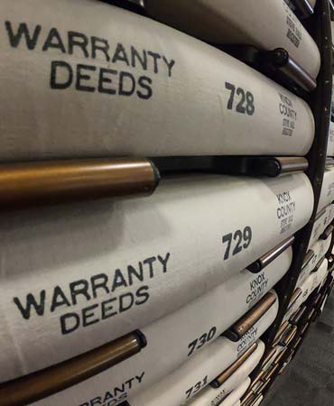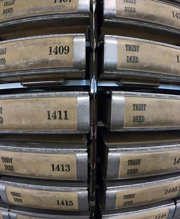
The Register of Deeds is an office established by the State Constitution as the official record keeper of legal documents pertaining to real property. These documents include Warranty Deeds, Deeds of Trust, Releases, Powers of Attorney, Liens and other miscellaneous documents designated by state law to be recorded by the Register of Deeds. The Register is elected by the people and serves a four year term.
Nick McBride
Nick McBride was elected Register of Deeds in 2018 and re-elected in 2022 for a second term. Nick has over 30 years of service in the office.